A company that enjoys the art and science of Land Surveying.
Outermost Land Survey, Inc. is dedicated to providing timely, efficient and accurate Land Survey services suitable for a wide variety of project specific requirements.
Proudly serving the following Cape Cod towns:
- Provincetown
- Truro
- Wellfleet
- Eastham
- Orleans
- Brewster
- Chatham
- Harwich
- Dennis
- Yarmouth
- Barnstable
- Falmouth
- Sandwich
- Mashpee
Cape Cod Land Survey Services

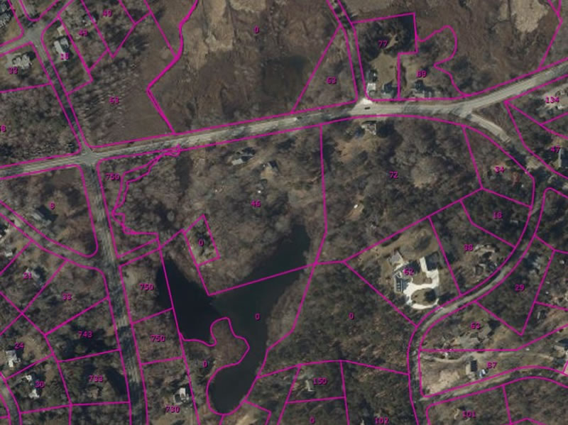
BOUNDARY AND TOPOGRAPHIC SURVEY
An accurate survey of one or more parcels of land made to establish or to re-establish boundary lines on the ground, or to obtain data for the preparation of a map or plan.
LAND COURT SURVEY
If title or boundary line problems can not be resolved by other methods, Land Court surveys and Plans may be required to eliminate the problem.
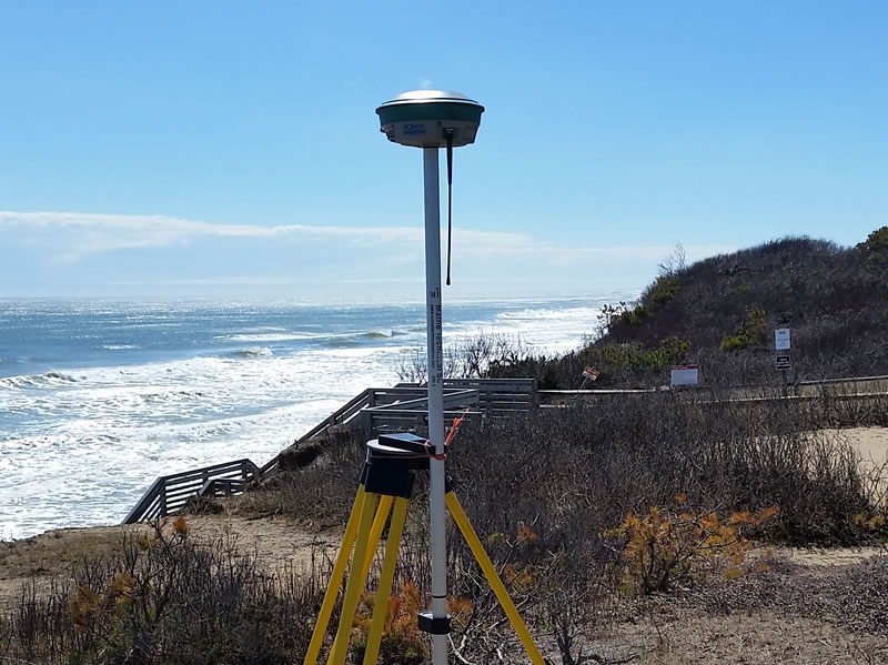
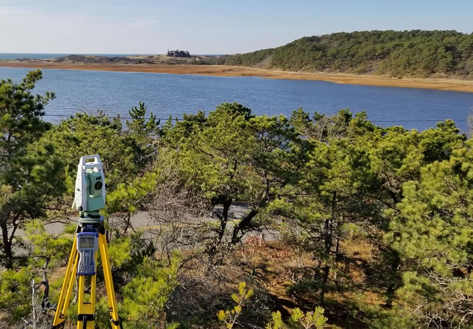
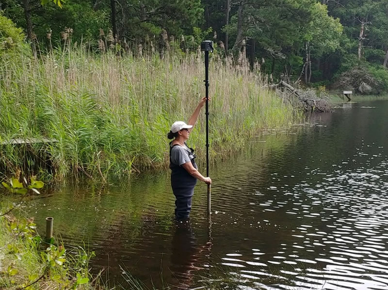
GPS SURVEYING
Using GPS equipment, Outermost Land Survey, Inc. can assist you in keeping your current GIS data Base information more current and updated in a timely manner.
FEMA ELEVATION CERTIFICATES
An Elevation Certificate is an important tool that documents your building’s elevation.

TITLE INSURANCE SURVEY
Title insurance protects the property owner against any flaws that may not have been found by the title searcher when the land and/or house were purchased.
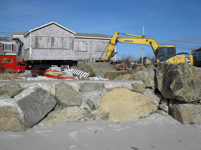
IN-SHORE HYDROGRAPHIC SURVEY
Prior to the construction of any shorefront structures, there is an extensive permitting process that must be completed.

EXPERT WITNESS TESTIMONY
When litigation is necessary to defend your property rights one important member of your team is the Professional Land Surveyor.

LAND DISPUTE MEDIATION
Donald T. Poole, Professional Land Surveyor (PLS), has successfully completed Mediation Training and the Advanced Courtroom training approved by the Mass. Bar Association under the supervision of Cape Mediation.
Outermost Land Survey Inc. was the best!
“Dawn took a lot of time explaining the different types of surveys and what each survey provided for the money. I called 3 different companies and chose Outermost for the following reasons: Dawn took several calls from me when I had questions about my plot plan and she never acted too busy to take my call. She was also very responsive to emails. She even saved me some money with her suggestions. After I put in a deposit and went with Outermost, I was delighted when she called to say they could do the survey sooner than the original time frame they quoted. I would highly recommend Outermost Land Survey, Inc. Their prices were on par with other quotes we got, if not better. The team showed up on time, they were very professional, and when done, they walked the property line with me to be sure there wasn’t any question. If you’re on the fence, go with Outermost!“
~ Donna A.
Outermost Land Survey Inc.
46 Main St
Brewster, MA 02631
508.255.0477
info@outermostlandsurvey.com
Slade Associates
10 Pine Point Road
Wellfleet, MA 02663
508.349.3110